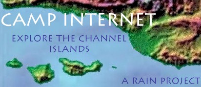
- You have been working on a
scale map of one of the Channel Islands. Look at these
sites for more information about your island.
Geology of Channel Islands
Island maps
Channel Island Study Guides

- Now that you have finished
your scale map of one of the Channel Islands, let's look
at different types of maps.
National Geographic Map Machine
Digital Maps
Hurricanes and Weather
Atlases
Maps from NASA
Maps of the World
Each of these sites will give
you a different view of the world. Go through each mapping site
CAREFULLY. Study the differences in these views of Earth.
- After you have studied
some of the different types of maps, think about how you
would use them. Why would you use an atlas? How could
weather maps help you? What is special about a digital
map?
- Select your favorite map
from the map machine site. Draw that map in detail.
Describe how you would use that map. In what types of
situations would that map be helpful.
- Select one of the weather
maps to reproduce. Be sure to include important details
in your drawing. Write a weather forecast based on the
weather map you drew.
- Select an interesting map
from the NASA site. Carefully draw a copy of that map.
Describe what that map represents. Why would that
information be important to NASA?
- Look through the maps of
the world site. Select one country from each of 5
continents. Copy each of those 5 maps carefully. How
would you use the information from each map. Write
detailed directions to travel from one part of each
country to another spot in the same country.
This site designed by Patricia
H. Rynearson